Services
Our Services
Quality Services
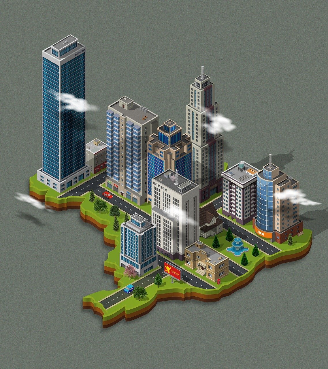
Geospatial Research & Development
We apply our expertise in imagery analysis,
remote sensing, photogrammetry, GIS, Geo-
spatial intelligence, Geovisualization, and
field surveys to discover the spatial
information. We apply physical and
human geography data to show trends,
pattern, change and relationship in spatio-
temporal context to solve critical issues
in human environment.
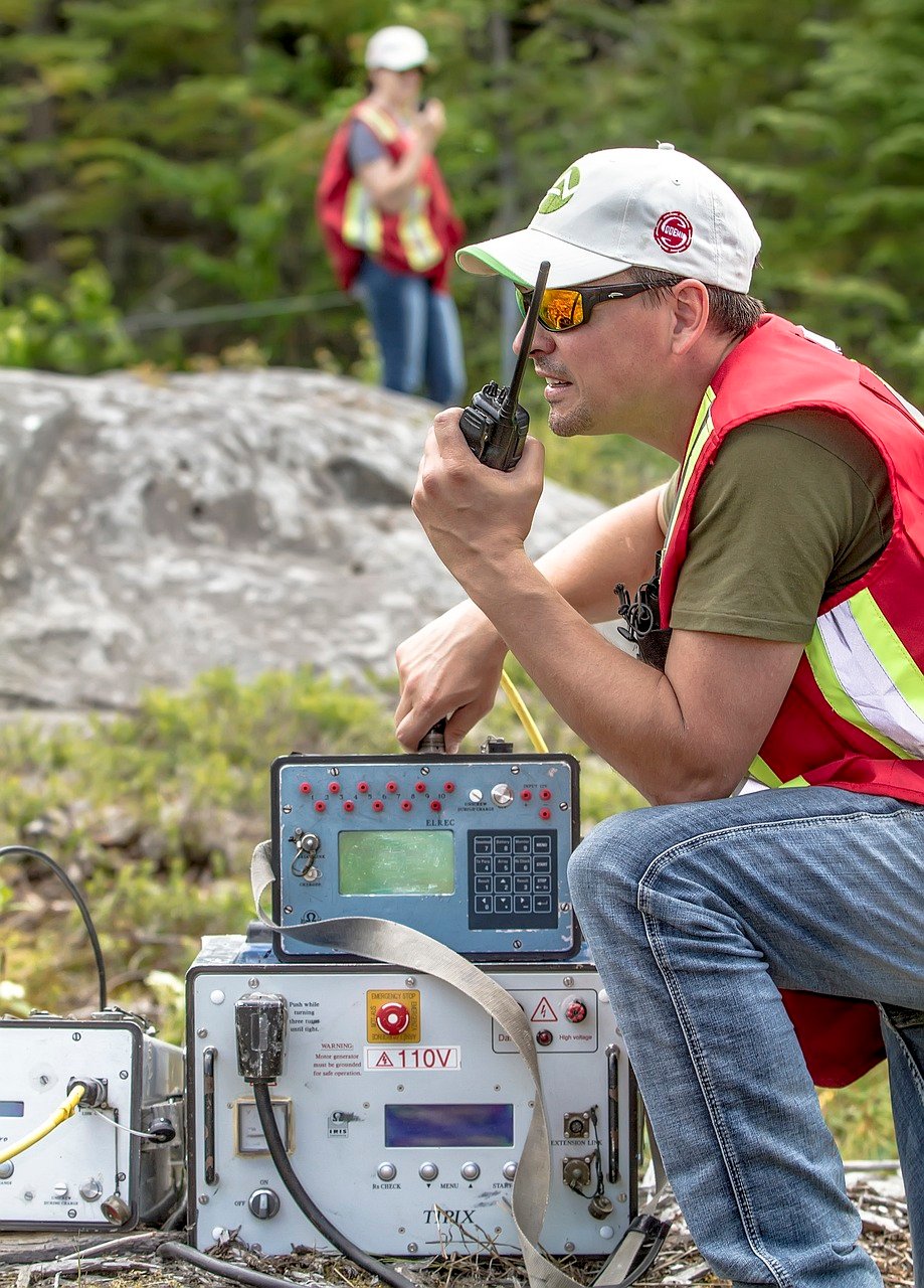
Spatial Data Creation & Management
We collect spatial data using GPS, ground-based field surveys, publically open source information including news reports, social media posts, academic publications, ground truthing and direct observation, remotely sensed imageries. We also utilize non-spatial data to verify geoaccuracy and precision of geocoded dataset. We store, automate, geovisualize and dissiminate large dataset and analytical findings.
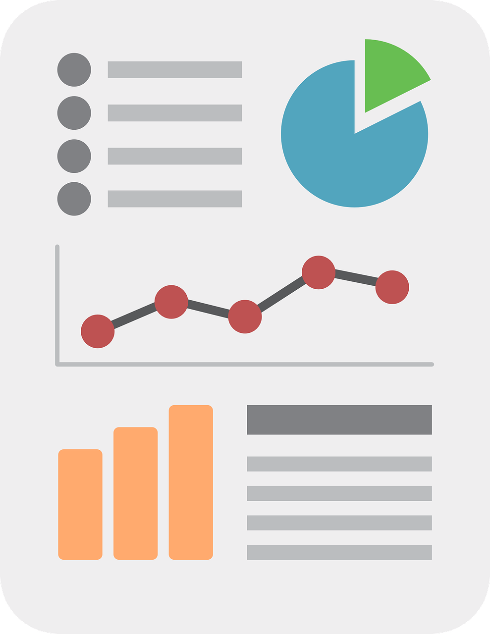
Data Analytics
We heavily utilize spatial analysis techniques, arteficial intelligence, machine learning, geostatistics, imagery intelligence, to predict certain variables and gain statistical insight into an area.

Conslutancy
Does your business miss spatial components to make informed decisions? Do you need suitability analysis for your business expansion? Do you need to know areas most vulnerable to deploy limited resources? Do you need to leverage geospatial information for your business? Want to develop GIS Mapping for in-house use? Not sure where to start? Call us!
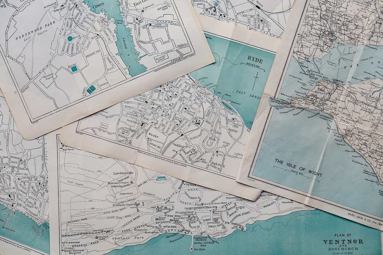
Geocoding & Digital Cartography
Do you have big data without geographic coordinate? Do you need a conversion of geographic coordinates into a human-readable address through reverse geocoding? Do you need to communicate your data through high quality cartographic products? We are here for you!.
Mentoring, Training & Technical Support
Developing your own GIS architecture, system and staff? We can help with training, getting started with hardware, software, data sourcing, and the setup process. Need on-site training and provide Technical Support? We help!
Trust and Worth
Our Clients

