everyhting happens somewhere!
As our planet is becoming more crowded, the demand for diminishing natural resources is growing. Income gaps are widening,and people are being left behind. Geographic location — and information about these locations – shows us where social, environmental and economic conditions occur. Reliable and authoritative geographic information provides the framework for measuring, monitoring and achieving the sustainable development, improving people’s lives and protecting the planet.
Interdisciplinary Geospatial Approach
“There is no one solution to all problems. It’s the problem itself that can lead to the solution.” — Jay Maisel
Our interdisciplinary approach allow us to leverage spatial and non-spatial data, methods, techniques and professionals from different domains for informed decision-making.
Geography
We utilize Physical and Human Geography features and events to solve the most pressing global challenges.
Remote sensing
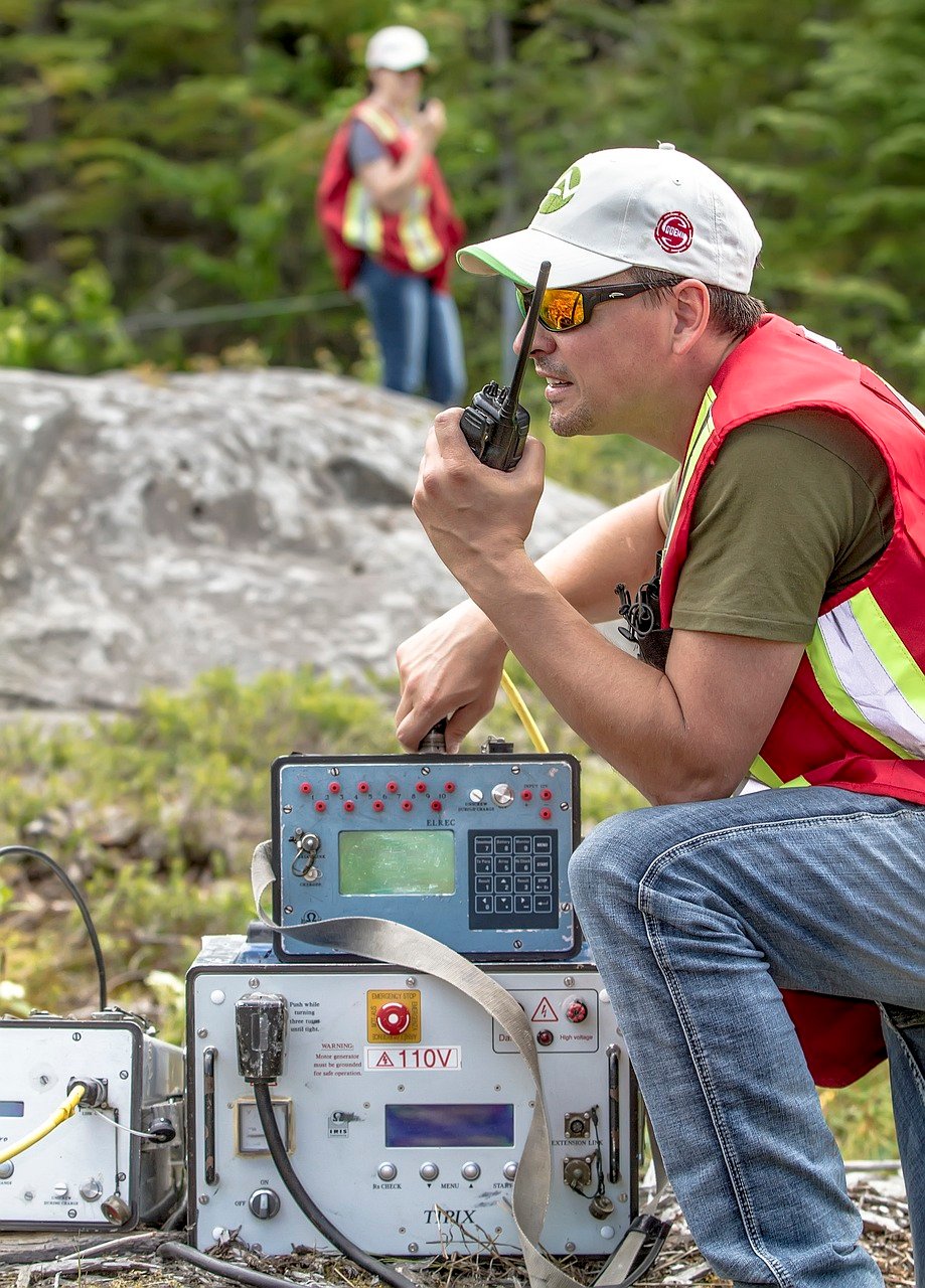
Remotely sensed data and imagery analysis makes it possible to detect, identify and monitor spatio-temporal changes in dangerous or inaccessible areas.
Digital Cartography
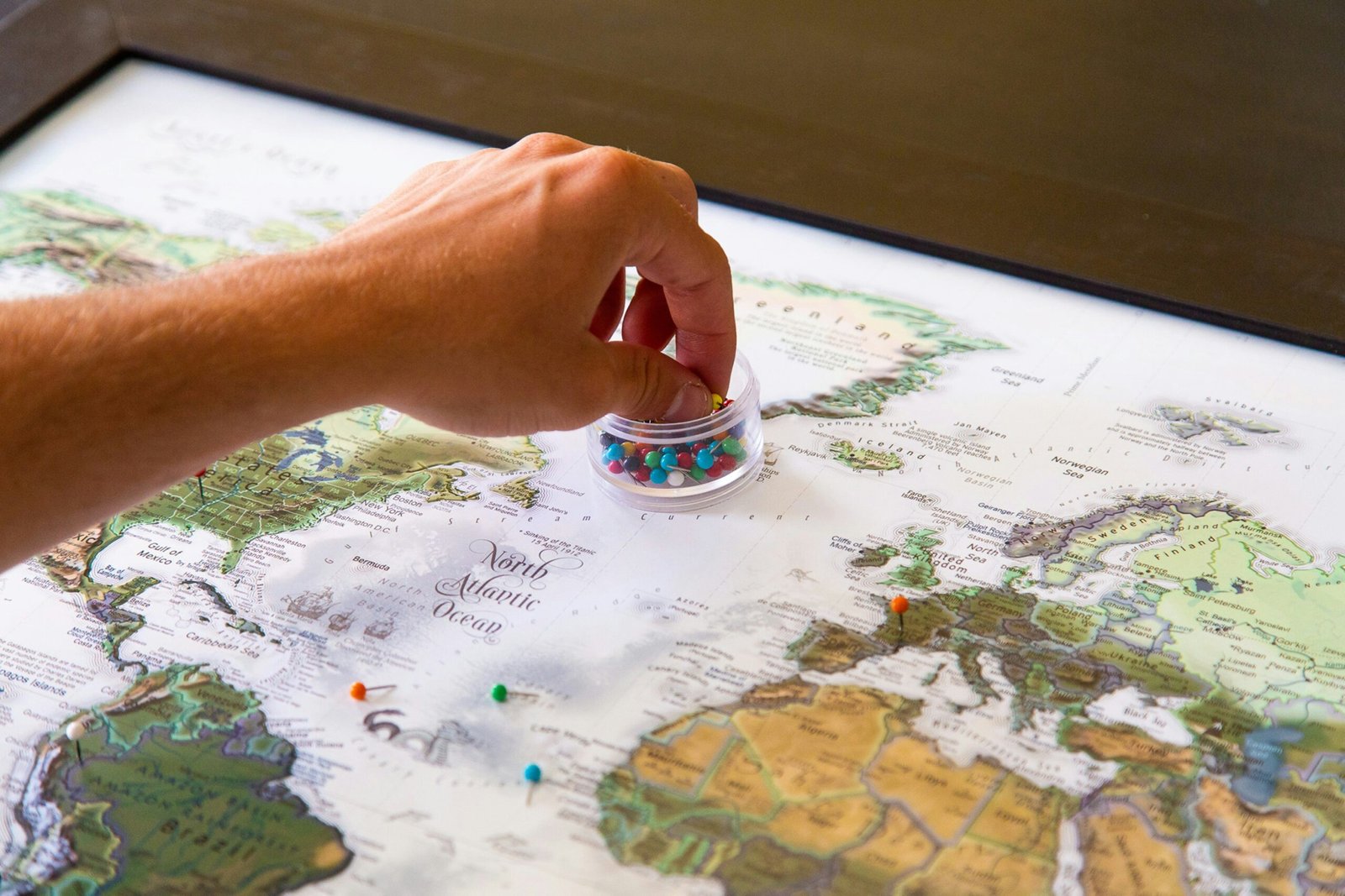
We comprehend the scale, distances, and relative positions of various locations, facilitating easier navigation and spatial orientation.
Environment & spatial planning
Leverage interdisciplinary approach for the development of living, working and environmental conditions.
Quality Services

Geospatial Research & Development
We apply our expertise in imagery analysis,
remote sensing, photogrammetry, GIS, Geo-
spatial intelligence, Geovisualization, and
field surveys to discover the spatial
information. We apply physical and
human geography data to show trends,
pattern, change and relationship in spatio-
temporal context to solve critical issues
in human environment.

Spatial Data Creation and Management
We collect spatial data using GPS, ground-based field surveys, publically open source information including news reports, social media posts, academic publications, ground truthing and direct observation, remotely sensed imageries. We also utilize non-spatial data to verify geoaccuracy and precision of geocoded dataset. We store, automate, geovisualize and dissiminate large dataset and analytical findings.

Data Analytics
We heavily utilize spatial analysis techniques, arteficial intelligence, machine learning, geostatistics, imagery intelligence, to predict certain variables and gain statistical insight into an area.

Conslutancy
Does your business miss spatial components
to make informed decisions? Do you need suitability analysis for your business expansion? Do you need to know areas most vulnerable to deploy limited resources? Do you need to leverage geospatial information for your business? Want to develop GIS Mapping for in-house use? Not sure where to start? Call us!

Geocoding and Digital Cartography
Do you have big data without geographic coordinate? Do you need a conversion of geographic coordinates into a human-readable address through reverse geocoding? Do you need to communicate your data through high quality cartographic products? We are here for you!

Mentoring, Training & Technical Support
Developing your own GIS architecture, system and staff? We can help with training, getting started with hardware, software, data sourcing, and the setup process. Need on-site training and provide Technical Support? We help!
Azebina
Committed To Provide Informed Spatial Decision
From remote sensing and satellite imagery to GPS and GIS, geospatial data and analysis enables us to understand spatial relationships, analyze patterns, and make informed decisions across various domains.
We Follow Best Practices
Project success criteria, proven customer engagement, efficient work flow, communication!
- Sustainablility
- Project On Time
- Cutting Edge Technology
-
Advanced Spatio-temporal Analysis Technique
Azebina
Serving Federal, State, Local &
Commercial Customers
We leverage Geospatial technolog to help Federal, State and Local Government agencies for better-informed decisions and enable agencies to shape a better future and maximize the impact of strategic decision-making.
Midwest Regional Office
3 Royal Melbourne ct
O'Fallon, MO 63366
Southeastern Regional Office
17824 Bridgefarmer BLVD,
Pflugerville, 78660
